
Walk One - Risbury, Blackwardine and Humber
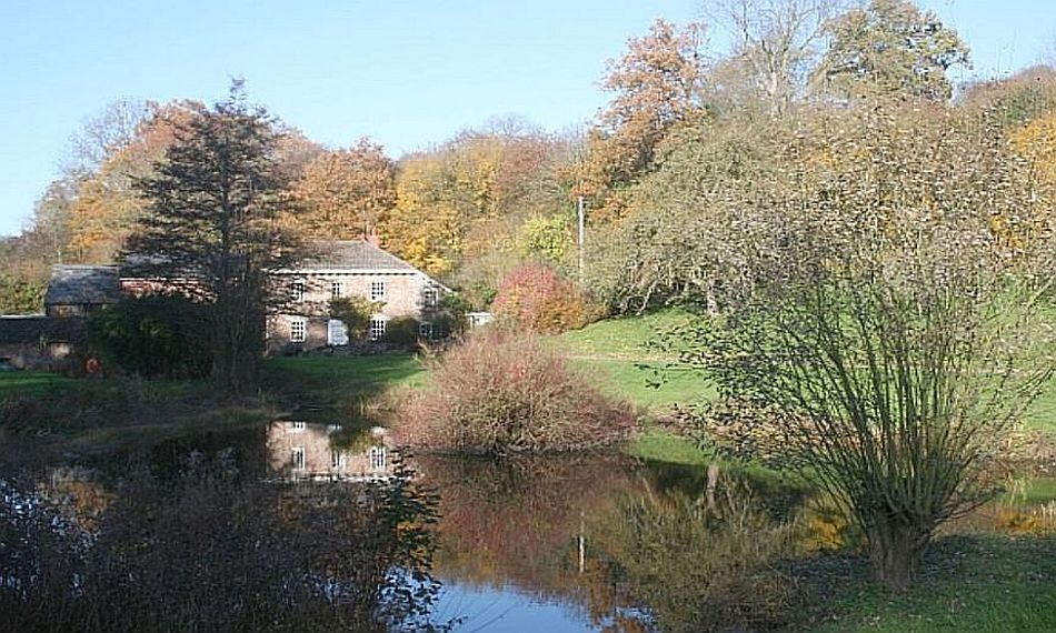
The image at the top of the page shows the old mill beneath Iron Age Risbury Camp, a sighting point on Blackwardine Ley.
Origin of the theory of Leys
Alfred Watkins conceived the idea of Ley Lines “while riding across the hills near Bredwardine”. You’d be surprised how many scholars have told us that a blinding flash came to the sixty-five-year-old up on Merbach Hill. Indeed, the cromlech known as Arthur’s Stone lends a satisfying mystique and intrigue to that area; after all, Watkins did decide that two ancient trackways ran straight through it. The reality is a little more prosaic, however: Watkins was sitting in his car at Blackwardine crossroads.
Blackwardine is a former Roman settlement on high ground between Stoke Prior and Humber, about three miles south-east of Leominster. Sadly, there’s no bewitching cromlech - but there is a cattery. And apart from the aptly named dwelling called “Fairview” that’s about all, really. Yet the fairly uninspiring crossroads which we arrive at on this walk is where it all happened, when the venerable Herefordian, ordnance survey map in hand, gazed across Luston to the ridge of Croft Ambrey.
We are in the centenary of that 30th June 1921 revelation.
“Suddenly”, his son Allen would recount, “the scales fell from Watkins’ eyes and his mind was flooded with a rush of images forming one coherent plan. The realisation came to him that over many long years of prehistory all trackways had been marked out in straight lines by experts on a sighting system”.
The ley ran, he suggested, from an initial point on top of Croft Ambrey, down Croft lane, through the Broad, a hamlet south of Luston, up to this point at Blackwardine crossroads, over Risbury Camp all the way to the old Roman station on the high ground of Homend Bank at Stretton Grandison. So, the The Blackwardine Ley was the first one ever proposed. (It was only ever a “ley” to Alfred and not a “ley line.”)
As for the Iron Age Risbury hill-fort, or Camp, even though the walk takes us directly below the bank and ditch on its western approach, it’s remarkable for its ordinariness. It has a tree-clad nature in a low-lying position beneath more imposing heights. If it wasn’t marked on the map, you wouldn’t notice it was there. As you walk from the camp to Blackwardine cross and try to keep aware of the camp’s position behind you, you’re likely to lose track of it. If you stand on the bank at Blackwardine cross by the “Give Way” sign, and look through the gap in the hedge, Lo! the ley north-west to Croft Ambrey can be observed. But if you nip back to the post on the other side and stand on the bank (don’t try this at home), you probably can’t see Risbury Camp.
So, on the ground - at this seminal vantage point, it’s clear that Alfred was placing a heavy reliance on his map. It’s also true that if you are looking south from Croft Ambrey itself, you’ll get a better perspective of the sighting points along the 20 miles to Stretton Grandison - towards Ledbury.
Our five-mile investigation of this unheralded area takes us across rolling countryside. None of the gradients which also skirt the Humber and Holly brooks are particularly demanding.
Whatever we make of leylines, placing Alfred Watkins at Blackwardine, rather than Bredwardine, gives that modest settlement a unique claim to fame in the wayfinding firmament. So, it is here that we find the seat of the conception of “The Old Straight Track” theory.